Call 911 for immediate danger, life-threatening symptoms, fire, serious collision, search and rescue, wildland fire, or active crime. For non-emergency safety decisions, route the problem to the right official channel: Alberta Emergency Alert for province-wide critical/advisory alerts, Town of Banff/Voyent Alert for local emergency notifications, Parks Canada bulletins and trail/fire pages for park restrictions, 511 Alberta for roads, Environment Canada/AQHI for weather and smoke, and Banff RCMP for qualifying minor crime or lost-property reports.
See the day change before you keep going
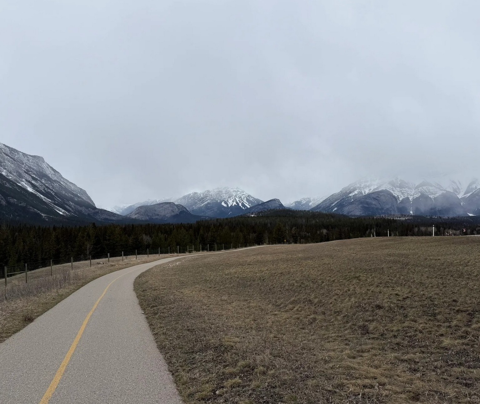
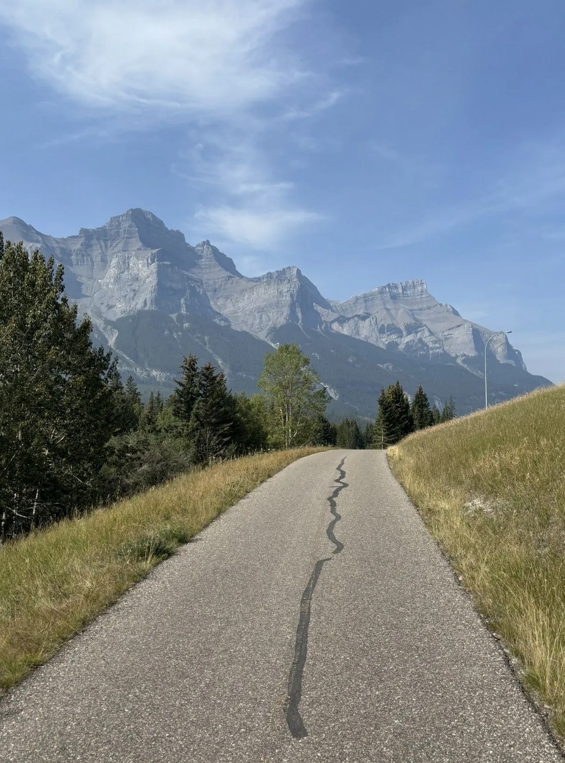
Do not search from scratch when the plan changes.
Pick the changed condition first: road, smoke, closure, wildlife, lost item, medical, or no signal. Then use the official source for that specific problem before buying tickets, leaving town, or splitting the group.
Road and weather images are project-supplied Canadian Rockies photos used only for route, weather, and plan-change context.
Pick the official channel by problem
Choose the problem before choosing the link. Different official systems own different alerts, and using the wrong one wastes the time when the group is already stressed.
Call 911 first
Use 911 for immediate danger, life-threatening symptoms, police/fire/ambulance, serious collision, search and rescue, active crime, or wildland fire. Parks Canada emergency-contact guidance also lists 911 for Banff National Park police, fire, ambulance, search and rescue, and wildland fire.
After the person is safe, use the medical/help node to gather ID, medication, insurance, hotel address, children, car keys, bikes, and the rest of the group's logistics.
Use Alberta Emergency Alert plus Town of Banff alerts
Alberta says critical alerts mean take action now and advisory alerts mean prepare to act. It also says different agencies issue different alerts: local authorities for fires, floods and hazardous materials; police for criminal events; Alberta 511 for hazardous road conditions; and Environment Canada for weather alerts.
The Town of Banff uses Voyent Alert for local notifications, including evacuation alerts or orders, wildfire notices, river flooding, severe storms closing local roads, avalanche, building fires, gas leaks, hazardous spills, aggressive wildlife in town, and dangerous-person notices.
Use 511 Alberta before moving the car
Use 511 Alberta before Highway 1, Bow Valley Parkway, Lake Louise, Johnston Canyon, Calgary/YYC, Canmore, Jasper, or a late-night return if weather, collisions, construction, closure, or reduced visibility could affect the route.
If the route is attached to a ticketed plan, check the road first. A paid view, dinner reservation, lake cruise, or timed Gondola ticket is weaker when the route home is uncertain.
Use Parks Canada bulletins, trail reports, and fire status
Use Parks Canada important bulletins for closures, restrictions, wildlife advisories, no-stopping zones, personal-vehicle restrictions, water-activity restrictions, and area closures. Use the trail-conditions page for current trail comments, fire-danger rating, and visitor-centre guidance.
Do not assume an old blog, social video, or saved itinerary still applies. Parks Canada says additional closures and restrictions may happen at any time, in any location, without prior notice.
Report serious wildlife situations to Banff Dispatch
Parks Canada asks visitors to report close or negative wildlife encounters, observations of large carnivores, and elk inside the Banff townsite to Banff Dispatch at 403-762-1470. Use 911 when there is immediate danger.
For the rest of the day, change the route instead of trying to keep the original photo plan. Respect closures, give wildlife space, keep dogs on leash, dispose of food/garbage properly, and never feed wildlife.
Use Banff RCMP for qualifying non-emergency reports
If there is danger or active crime, call 911. If it is non-emergency lost property, bike theft, theft from vehicle, theft under the listed threshold, or property damage that meets the Town page criteria, use the Banff RCMP page rather than a random form.
Before reporting: photograph the location, record time, note serial numbers or receipts, save the parking/ticket/vehicle context, and keep one person with kids, bags, bikes, and the meeting point.
Roads, smoke, wildfire, and air quality
Bad visibility, wildfire smoke, and mountain-road conditions change the value of scenic drives, gondola tickets, lake plans, bike rides, and dinner reservations. Check before leaving Calgary/Canmore, before driving out of Banff, and before committing to a paid attraction where the view is the product.
Use 511 Alberta for closures, incidents, cameras, road conditions, severe weather, and route planning. This is the source to check before Highway 1, Lake Louise, Jasper, or a late-night return.
Use Town emergency alerts and Alert Centre for localized Banff events, closures, severe weather, or evacuation instructions.
Use Parks Canada's Banff wildfire-status page for park-specific fire updates, current fire danger, and the dispatch number for wildfires, illegal campfires, or suspicious smoke. Use Alberta wildfire status for the broader provincial map.
Use Environment Canada weather alerts for warning/watch/statement logic and the Alberta Air Quality Health Index summary for smoke-related health-risk framing. Smoke can make "beautiful viewpoint" days into indoor, short-walk, or hot-springs days.
When to replace the plan instead of pushing through
The practical decision is not "is Banff still open?" It is whether the exact next chapter still makes sense for this group today. If the answer is weak, switch to a lower-risk node while everyone still has energy.
If smoke, cloud, wind, closure, or road delay removes the view, check refund/change rules and move to food, museum, hot springs, downtown, or a short Bow River walk.
Gondola | Lake cruise | Museum
Pick a warm, seated, washroom-safe reset first: hotel, Central Park when weather allows, Visitor Centre, food, pharmacy/first-aid, or medical/811/911 depending on severity.
Wind, smoke, ice, mud, thunder, wildlife closure, or bike-return uncertainty should trigger a shorter route. Save the return plan before leaving reliable service.
A smoke pivot, road delay, wildlife stop, or rain reset can become a stronger Photo Story frame than a forced viewpoint. Label it honestly and keep the group safe.
Wildlife and closures are safety decisions, not photo opportunities
Parks Canada's wildlife guidance says to give wildlife space, never feed wildlife, obey speed limits, keep dogs on leash, dispose of garbage properly, and respect closures. For trip design, that means a wildlife sighting can change where you stop, where you photograph, and whether you continue.
- Do not approach, crowd, follow, feed, or disturb wildlife.
- Use a zoom lens and crop later instead of moving closer.
- Report bear, cougar, wolf, and coyote sightings/encounters to Banff Dispatch at 403-762-1470.
- If the situation involves an injured animal, wildlife jam, large carnivore, elk in the townsite, or a negative encounter, use Parks Canada dispatch/contact guidance rather than social media first.
- Respect closures and restrictions. Parks Canada notes that violations can lead to charges and fines.
Open safe wildlife viewing Parks contact / dispatch Open park regulations
Lost item, bike theft, or minor crime
If there is danger, call 911. If it is a non-emergency minor issue, start with the Banff RCMP page. The Town's RCMP page describes online crime reporting for certain less serious incidents in the Banff area, including lost property, theft under $5,000, theft from vehicle under $5,000, bicycle theft under $5,000, and property damage under $5,000, when there are no witnesses or suspects and the incident meets the listed criteria.
For a visitor, the practical script is: take photos, note the exact location/time, preserve receipts or serial numbers, check whether the report qualifies online, then use the official RCMP page rather than a random third-party form.
Before you enter low-signal areas
Parks Canada warns that cell coverage is not reliable throughout Banff National Park. Before a lake drive, bike ride, hike, or scenic detour, save the offline pieces you need: route, parking/washroom plan, emergency contacts, hotel address, medication/allergy information, and the fallback meeting point.
Save the nearest washroom, hospital map, hotel address, parking location, and a named meeting point before the group leaves town.
Save return logistics, weather, water, food, one bailout point, and the rule for what happens if the bus/bike rack/ride back does not work.
Save 511, Parks bulletins, the lake/attraction page, offline map, first fuel/food stop, and the last safe turn-back decision. Do not rely on one phone with low battery.
Low-signal moments still create story beats: changed plan, smoke day, wildlife stop, road closure, or a family reset. The memory product can include the real day, not just the perfect plan.
Source order when two official pages disagree
For high-stakes details, use source order. Life safety comes first, then the agency that controls the place or system, then practical local pages. If two pages appear to disagree, use the more specific and more current source for that exact decision.
| Question | Use first | Why |
|---|---|---|
| Do we evacuate, shelter, or avoid an area? | 911 / Alberta Emergency Alert / Town of Banff alerts | These are emergency-action channels, not itinerary pages. |
| Is this trail, lake, road, or area closed? | Parks Canada important bulletins and trail conditions | Parks Canada controls Banff National Park restrictions and closures. |
| Can we drive this route? | 511 Alberta plus Parks Canada road/closure notes | 511 handles road conditions; Parks bulletins can add park-specific restrictions. |
| Is smoke or weather a health issue? | Environment Canada weather alerts and AQHI | Weather and air quality change outdoor exposure and viewpoint value. |
| Is this a police/lost-property issue? | 911 if danger; Banff RCMP page if non-emergency | The RCMP route is only for qualifying non-emergency reports. |
Why this is a digital-twin node
A scenic guide can ignore rare problems. A useful place twin cannot. The same map that helps a visitor find a gondola or restaurant should also tell them what to do when a road closes, smoke ruins the view, a ticket appears on the windshield, a child needs help, or wildlife changes the plan.
Official sources and live links
Hours, prices, transit schedules, parking rules, closures, and ticket availability can change. Use these links as the current source of truth.