The studio flow should be simple: upload photos or short clips, give consent for metadata use, use GPS when available, manually confirm locations when GPS is missing, preview a 15-30 second vertical story, then export a map-linked movie, carousel, or memory image.
Static demo: one Banff day becomes a story
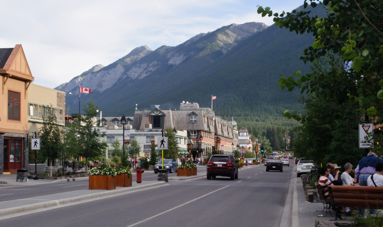
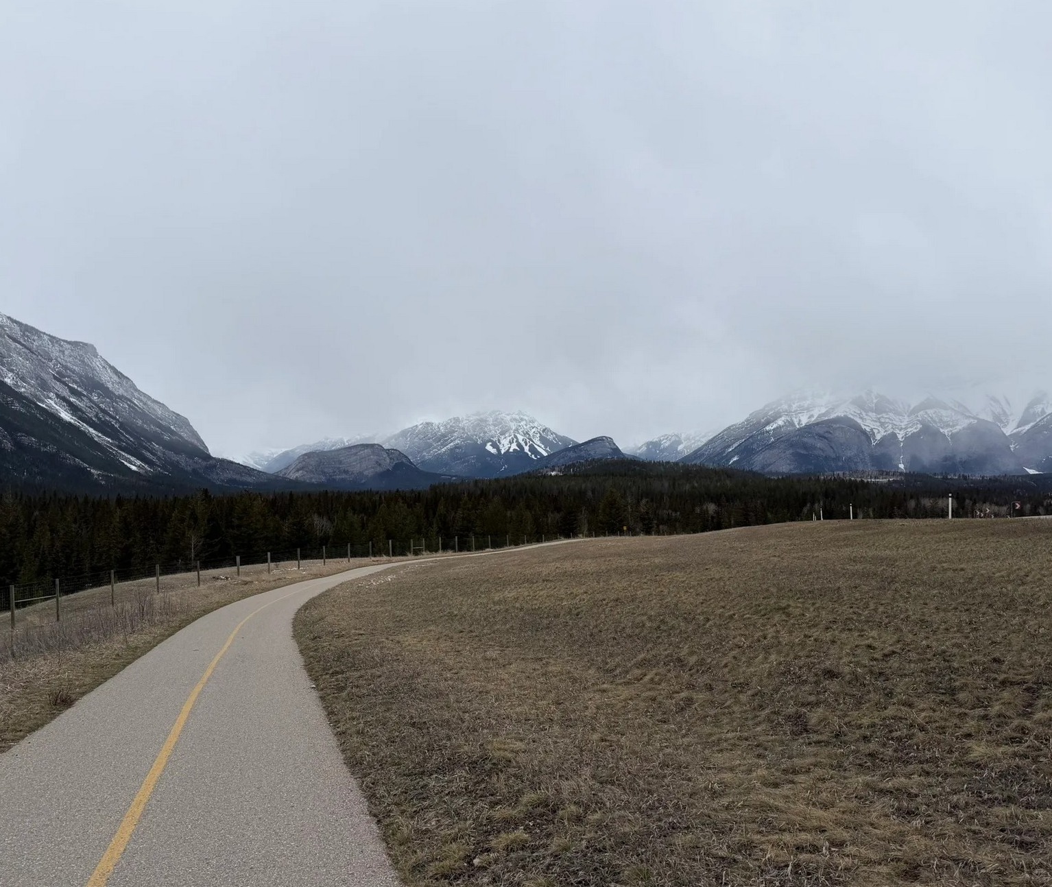

Visual product sample
Show the visitor the movie before asking them to pay.
The value is not only editing. The value is that their photos become a small map-linked travel film: where they started, what changed, what they saw, where they ate, and how the day ended.
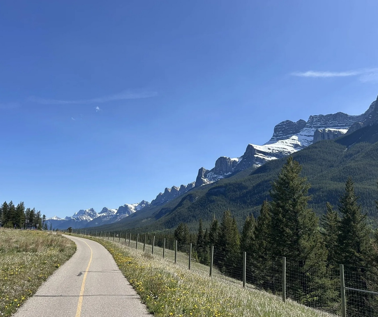
Banff Avenue photo: InSapphoWeTrust, CC BY-SA 2.0. Gondola photo: KDBelliveau, CC BY-SA 4.0. Other route/view images are project-supplied local photos.
This is the sample a visitor should understand before paying. It uses the same place nodes as the planner: downtown, Bow River, gondola or lake, dinner, and the return chapter. In a live version, the uploaded photos become the frames.
Try the story shape
Build a tiny Banff movie preview in the browser.
Pick a route shape and optionally preview one local photo. This static demo does not upload the file anywhere. It shows the product logic: photo, map node, caption, confidence, and export idea.
Demo boundary: this page is a static preview. A production checkout/export service still needs real upload storage, consent, payment, rendering, and deletion controls before paid delivery.
A small route line starts at Train Station/Bear Street/downtown. Caption: "We arrived, parked once, and let the town become readable."
Downtown coffee, storefront, rain shell, family reset, or Banff Avenue mountain view. This proves where the day began.
Bow Falls, Surprise Corner, Gondola, Lake Minnewanka, Cave and Basin, or an easy Bow River walk. The map pin moves with the photo.
Ramen, Chinese sharing meal, steak dinner, brewery, hot springs reset, picnic, or hotel return. This is where the memory becomes personal instead of postcard-only.
The final frame shows the map, selected photos, and one short caption: "A day in Banff, not just a set of photos."
Visitor flow
- Choose trip type: Banff town day, gondola/hot springs, Lake Minnewanka, Legacy Trail, or custom.
- Upload photos or short clips from the phone after a clear consent step.
- Read EXIF GPS, timestamp, and sequence only when the visitor agrees.
- Place each item on the Banff place graph. If confidence is low, ask the visitor to choose the node: downtown, Bow River, Gondola, Hot Springs, Lake Minnewanka, restaurant, hotel, or custom.
- Show location confidence: high for GPS, medium for route/order/visible landmark, low when the scene is generic.
- Generate captions: start, first view, main scene, food/rest, surprise, final memory.
- Export vertical video, map story image, social carousel, or memory-book style recap.
How photo placement works
Use EXIF GPS and timestamp to snap the photo to the nearest Banff node or route segment, then let the visitor confirm. This should be the fastest path.
Ask simple questions instead of pretending certainty: "Was this downtown, by the river, at the gondola, on the lake drive, at dinner, or somewhere else?" Then let the visitor choose.
If GPS is missing, use visible signs, buildings, food, lake or river patterns, mountains, and route order as clues. Keep the confidence label honest when the scene is generic.
The visitor can move a photo to the right map node. That correction improves their private story and can become aggregate place intelligence only with permission.
What the visitor receives
15-30 seconds for TikTok, Instagram Reels, YouTube Shorts, Facebook, or messaging.
One shareable image with route, map pins, photo thumbnails, and short captions.
Start, scenery, human moment, food/rest, final map recap.
Date, route, weather note, places visited, best view, food stop, and selected photos.
Privacy and consent
Privacy must be explicit because photos can contain people, location, timestamps, license plates, hotel rooms, children, and restaurant interiors. A visitor can use the story tool without giving up ownership of private memories.
- Private by default: uploaded photos are used to generate the visitor's output, not published to the site.
- Metadata consent: ask before reading GPS, timestamp, camera sequence, or other metadata.
- Learning consent: separate private story generation from aggregate learning about Banff nodes.
- Correction before export: let the visitor review map placement and captions before download/share.
- Sensitive locations: do not expose exact wildlife or private-person locations as public intelligence.
What the site learns with consent
Aggregate signals can improve future trip guidance: which views are good in each season, where people actually stop, what weather causes bad photos, which restaurants are photographed, which washroom/parking nodes matter, and which story nodes generate shares. Keep private photos private unless the visitor gives explicit permission.
Season, weather, crowding, lake color, snow, smoke, flowers, road surface, storefront changes, and common photo angles.
Restaurant exterior/interior recognition, food photos, menu popularity, wait/crowd patterns, and coupon-ready partner nodes only when appropriate.
If many visitors correct a location or skip a node, the planner can improve future route advice.
Label aggregate/user-reported observations separately from official facts. Official pages remain the source of truth for hours, prices, closures, parking, tickets, and safety.
Preview and paid export
The visitor sees the sample first, then chooses whether a clean export is worth paying for. Keep the offer simple: free preview, editable placement and captions, then paid download only after the output is clear.
Watermarked low-resolution preview, map placement, and editable captions.
Clean video/image/carousel export in social formats, no watermark, better captions, optional music, and downloadable files.
Optional restaurant, rental, hotel, or attraction frame when the visitor chooses that node and the partner relationship exists.
Track clicks to this page, sample preview starts, map-node clicks, upload interest, and paid-export clicks before promising merchant ROI.
Official sources and live links
Hours, prices, transit schedules, parking rules, closures, and ticket availability can change. Use these links as the current source of truth.